

Heabhal [Seabhal]
Good walks are even better shared.
Overview
Heabhal [Seabhal]
Heabhal, standing proudly at 390 meters, is a Marilyn in the magnificent Outer Hebrides, offering an inviting challenge to hikers with its breathtaking views and rich geology.
Geology
Heabhal is crafted from the ancient Lewisian gneiss, a rock that’s older than your last social media post. This geological wonder not only forms the backbone of the hill but also enhances the rugged beauty of the landscape.
Routes
The primary route to the summit is the Bha Fheòir to Heabhal Path, which meanders over 8 kilometers through heather-covered moorland before pitching steeply towards the top. Estimated time for this delightful journey is about three hours, depending on how many selfies you stop to take along the way.
Summit Features
Once you reach the top, you’ll be greeted by a robust stone cairn, perfect for a triumphal photo-op or to ponder the universe while catching your breath.
Terrain Type
Expect grassy slopes befriended by rocky outcrops, with a few boggy patches thrown in for good measure—this is the highlands after all!
Views
On a clear day, the view from Heabhal's summit is nothing short of spectacular. Spot the coastline of Lewis, the rugged beauty of Harris, and the distant isles scattered across the blue Atlantic. Spring and summer are particularly splendid seasons for soaking in these scenic delights.
Hazards
Don't let sheep catch you off guard—they seem to be well-acquainted with the local terrain! Plus, weather conditions can switch from bright sunshine to a downpour more quickly than you can say 'pack a raincoat'.
Nearby Summits
For those keen on exploring further, nearby peaks include Mullach an Dheidh and Ben More, both of which offer equally stunning views and hiking experiences.
Access
- Parking: There’s a small gravel area at the trailhead, ideal for parking.
- Public Transport: Buses from Stornoway will drop you near Tarbert, though be sure to check their schedules.
- Nearest Town: Tarbert is the closest settlement, just a short drive away, offering shops and friendly cafés.
Facilities
Cafés and toilets can be found in Tarbert, making it easy to prepare for your hike or celebrate your accomplishment with a well-deserved cup of tea.
History
The name Heabhal is derived from the Gaelic word Seabhal, meaning 'high place', which perfectly encapsulates the mountain's spirit. It's not just a hiking route; it’s a space steeped in local legend and cultural significance.
Heabhal awaits with open arms (figuratively, of course) for your next adventure!
Explore routes near Heabhal [Seabhal]
Public walks starting within 80 km of this hill. Nearby does not mean a route reaches the summit; check its map and access before setting out.
Dun Mhulan Broch Quick Walk
View route
Berneray Community Hall to the beautiful beach
View route
Route planning notes
These notes describe possible approaches, not verified navigable routes or permission to cross land. Check current paths, local access rules and conditions before setting out.
Bha Fheòir to Heabhal Path
A well-defined path that weaves through heather moorland before a steep ascent to the summit.
Make a day of it, together
Find someone to share the walk with, or organise a day out along a route you like.
Photo Gallery
View all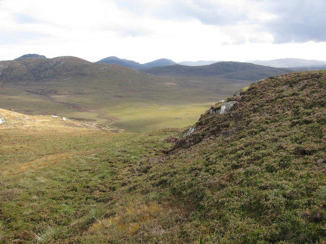 Photo could not load
NF7626 : Flanks of Heabhal
Hugh Venables
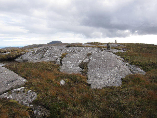 Photo could not load
NF7627 : Top of Heabhal
Hugh Venables
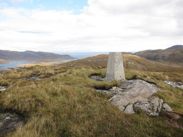 Photo could not load
NF7627 : Trig point, Heabhal
Hugh Venables
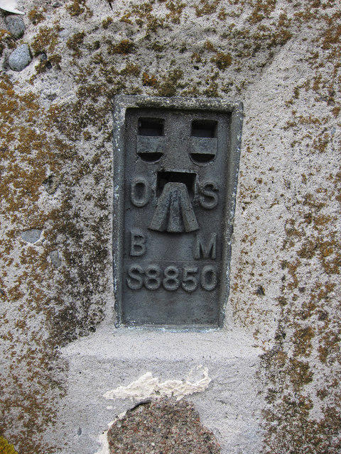 Photo could not load
NF7627 : Trig point flush bracket
Hugh Venables
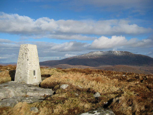 Photo could not load
NF7627 : Heabhal
Rupert Fleetingly
Hill facts and local notes
Classifications
Elevation
223m
733 ft
Prominence
140m
Coordinates
57.2197, -7.3589
NF766270
OS Map
22
Explorer: 453S
At the Summit
The summit features a substantial stone cairn, providing a perfect place for a snapshot with your mates or to contemplate life’s big questions, like why your legs are still working after the climb.
Terrain & Geology
Heabhal is primarily composed of ancient Lewisian gneiss, which gives it a rugged and ancient geological character common across the Outer Hebrides. This rock type is among the oldest in Europe, providing a fascinating window into geological history.
Views & Scenery
From the summit, you can see the rugged coastline of Lewis, the dramatic hills of Harris, and the nearby islands scattered across the Atlantic.
History & Heritage
Name Origin
Heabhal derives from the Gaelic 'Seabhal', which is thought to mean 'high place'.
Historical Significance
Local folklore often speaks of Heabhal as a spiritual spot, with community tales weaving through the memories of the landscape.
Getting There & Facilities
Check current local access restrictions, parking rules and transport timetables before travelling. These notes do not confirm public access to the summit.
Parking
There is a small gravel parking area at the start of the Bha Fheòir path, suitable for a few vehicles.
Public Transport
Regular bus services operate from Stornoway to local villages, but check the schedules as they can be infrequent.
Nearby Facilities
Facilities in Tarbert include cafés, shops, and toilets, making it a convenient starting point for your adventure.
Safety Information
Known Hazards
- Variable weather conditions can change rapidly; proper gear is essential. Some areas may also be prone to sheep-related surprises.
General Safety Tips
- Check weather conditions before setting out
- Carry appropriate clothing and equipment
- Let someone know your planned route
- Take a map, compass, and GPS device
- Carry emergency supplies: food, water, first aid kit, torch
Hills
Some common questions about the hills answered
Are there group walks up Heabhal [Seabhal]?
Many walkers use Walkmates to join or organise walks with others. You can check for group walks around Heabhal [Seabhal] through the maps
Are there other walkers around Heabhal [Seabhal]?
Activity varies by location and time, but Walkmates lets you see whether others have shared walks or shown interest in this area. Find other people through the walking friends search walking friends for Heabhal [Seabhal] search or of course create your own walk for Heabhal [Seabhal]
Can I organise a walk to Heabhal [Seabhal]?
Yes. If there aren’t any walks listed already, you can create a walk and make it available for others to join.
If you're signed up to Walkmates, you can create a walk to Heabhal [Seabhal].
How do I find a walk up this hill?
There are often multiple ways to walk this hill, depending on experience and route preference. Walkmates helps you explore walks and routes that others have shared.
Can I suggest a new route up Heabhal [Seabhal]?
Yes. You can suggest or create routes to share with others. Walkmates focuses on the social side of walking, so routes are used to help people organise walks and explore areas together, rather than as detailed navigation tools or route libraries.
Other uses really appreciate knowledgeable walkers sharing their routes. Share your favourite route to Heabhal [Seabhal] here
The is an error or something incorrect about this hill. How do I let you know?
We always strive to keep the information on Walkmates as accurate as possible. If you find an error, please let us know through the contact form and we'll aim to correct it as quickly as possible
Community Discussion
Comments
Location
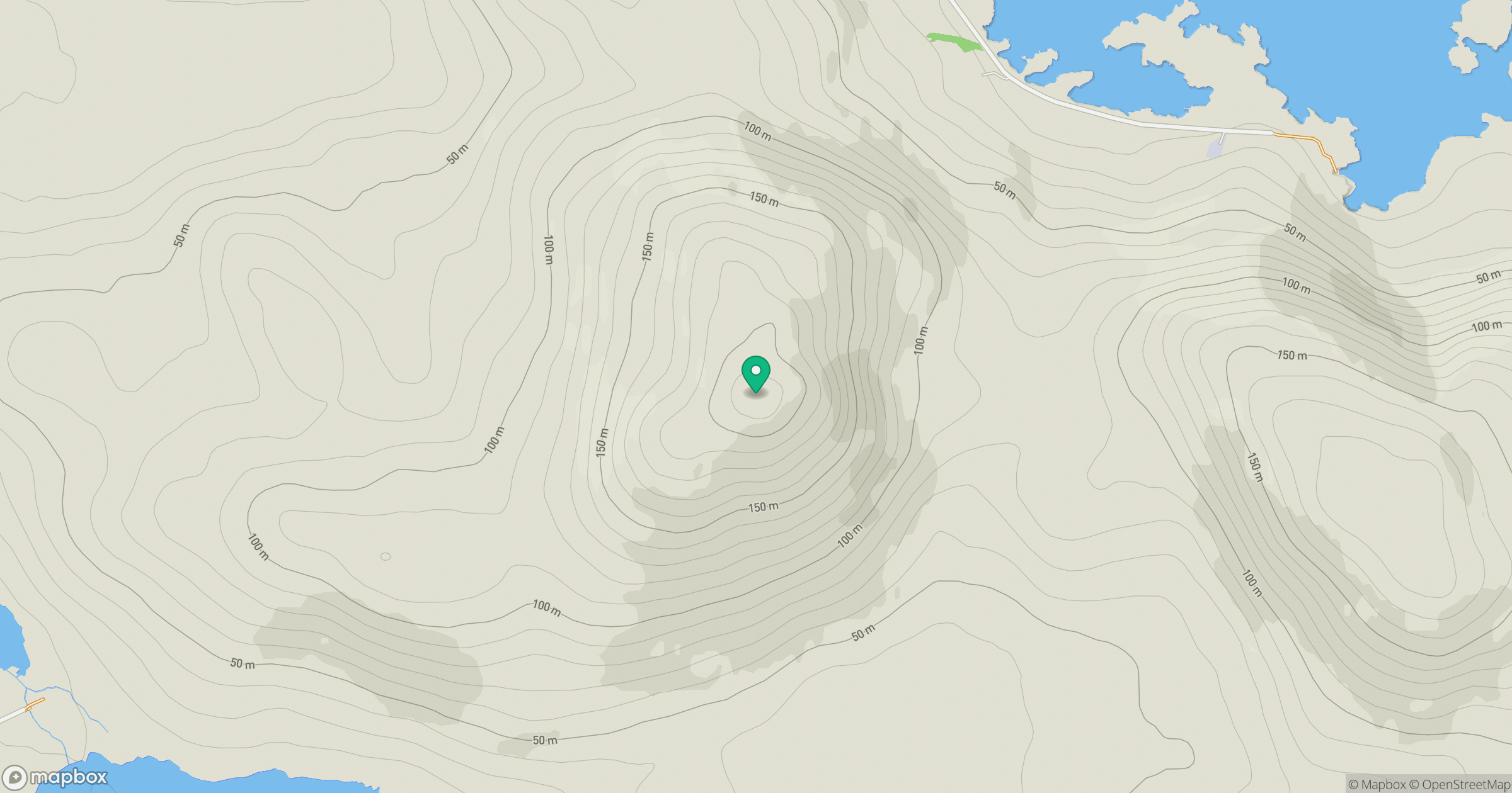
Grid reference: NF766270
View on OpenStreetMapOpens a map in a new tab, centred on the hill.
Hills within 30 km
Straight-line distance, not a walking route or confirmation of access.
Airneabhal [Arnaval]
255m
Leathabhal [Layaval]
182m
Beinn Mhor
620m
Triuirebheinn
357m
Beinn Choradail [Ben Corodale]
526m
No comments yet. Be the first.